Canal Seine-Nord Europe - Territorial Cartography & Illustrated planning Report
info +
illustrated territorial report and cartographic design + informative maps:
L'Atelier Cartøgraphik
clients: Région Hauts de France
Published: 2022
The Canal Seine-Nord Europe project is one of the largest territorial development and infrastructure initiatives in Europe.
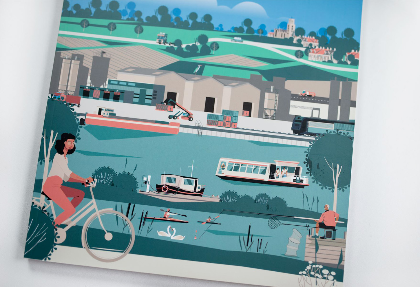
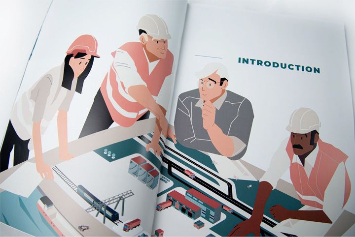
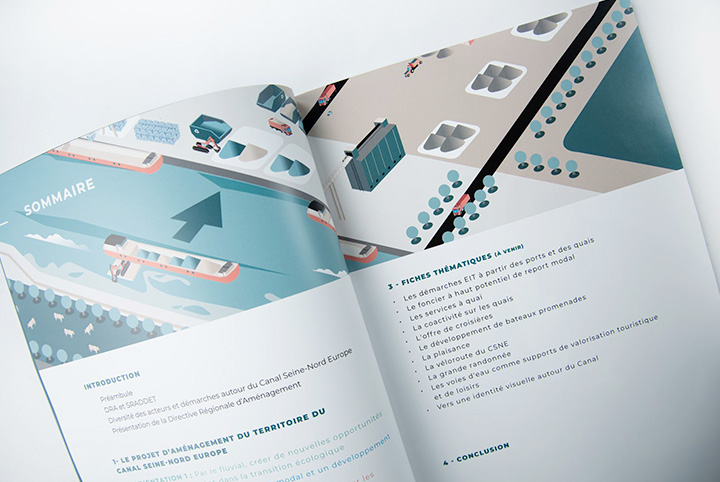
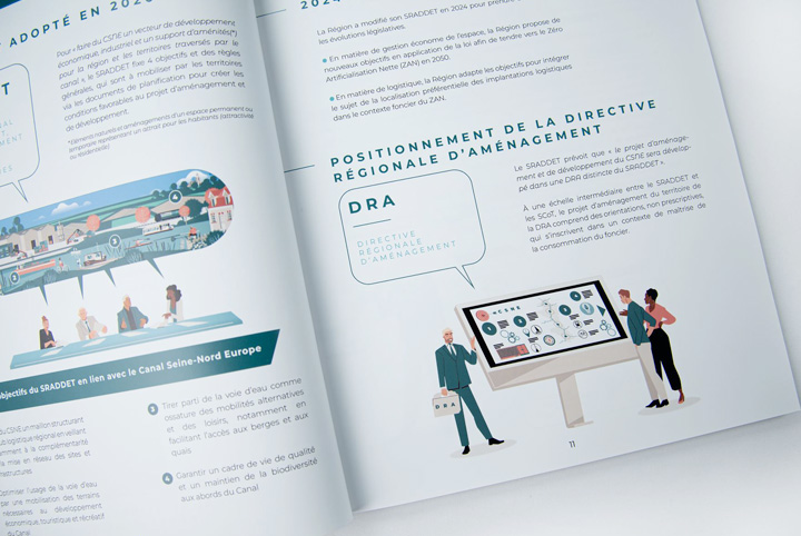
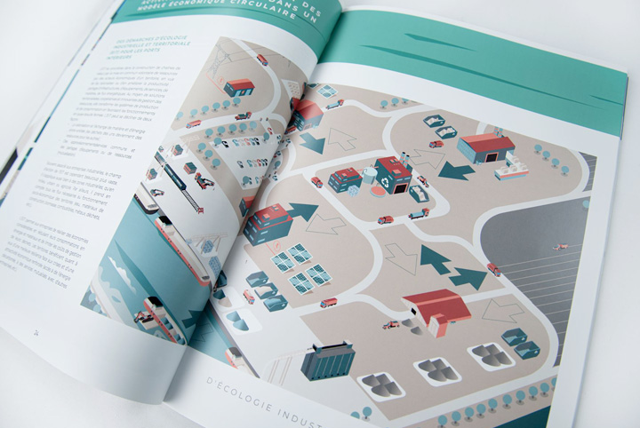
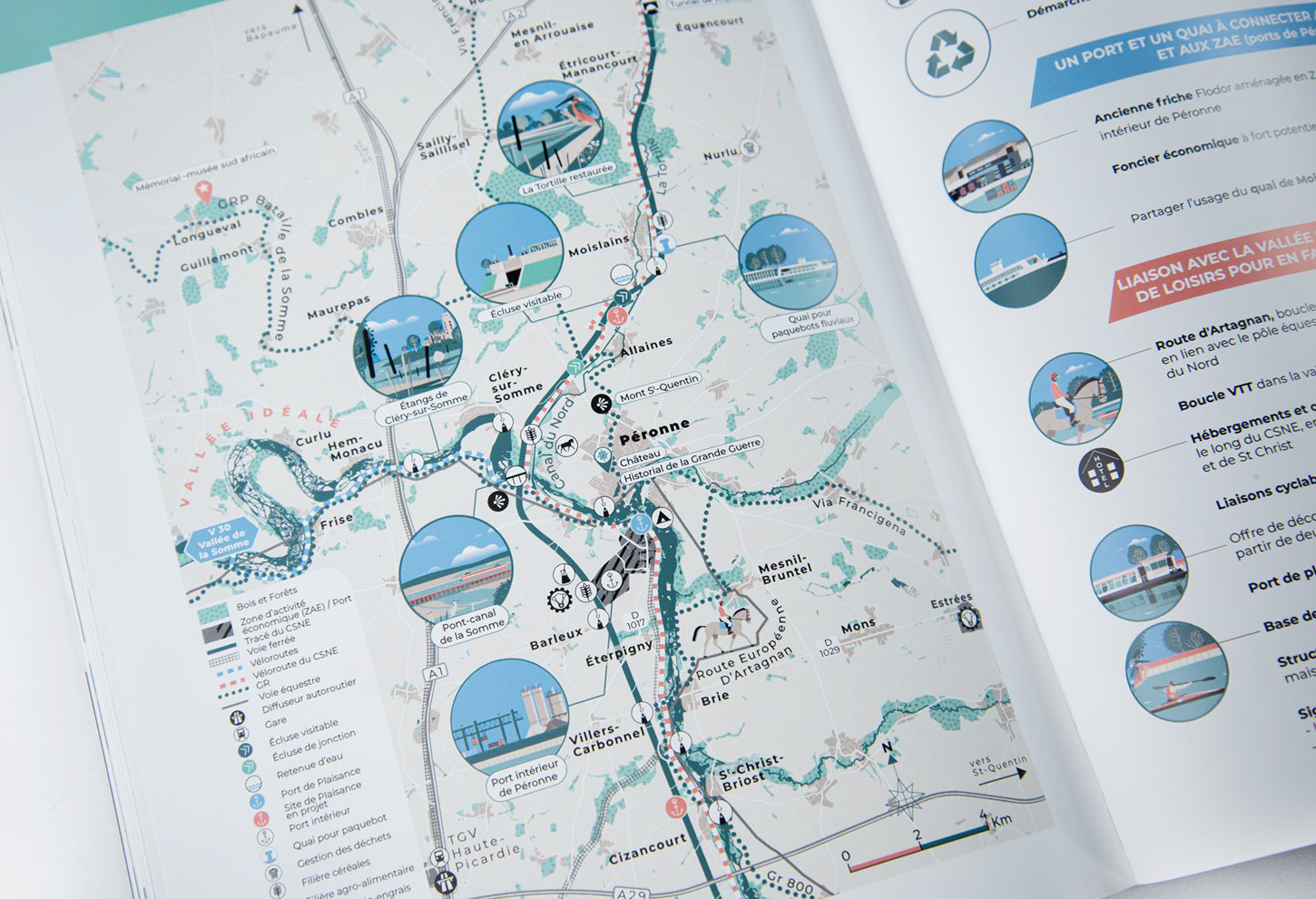
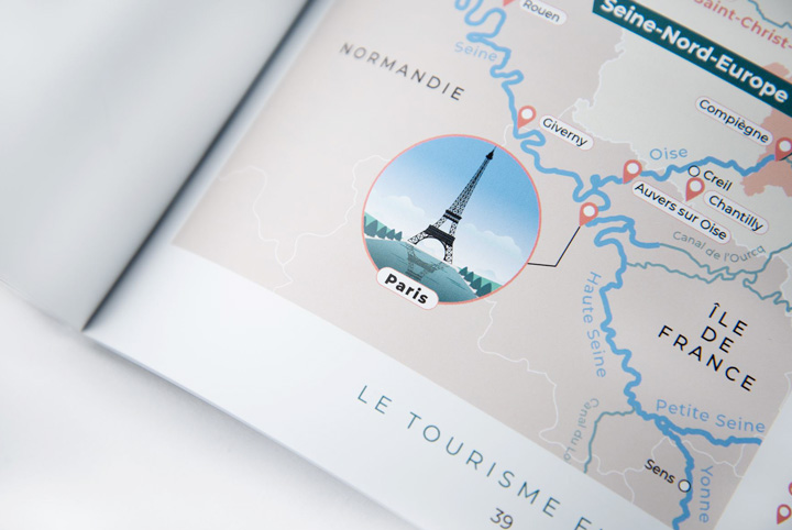
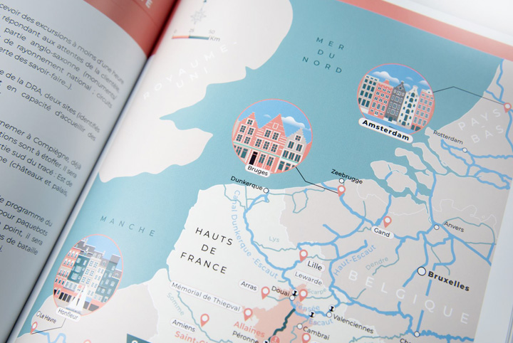
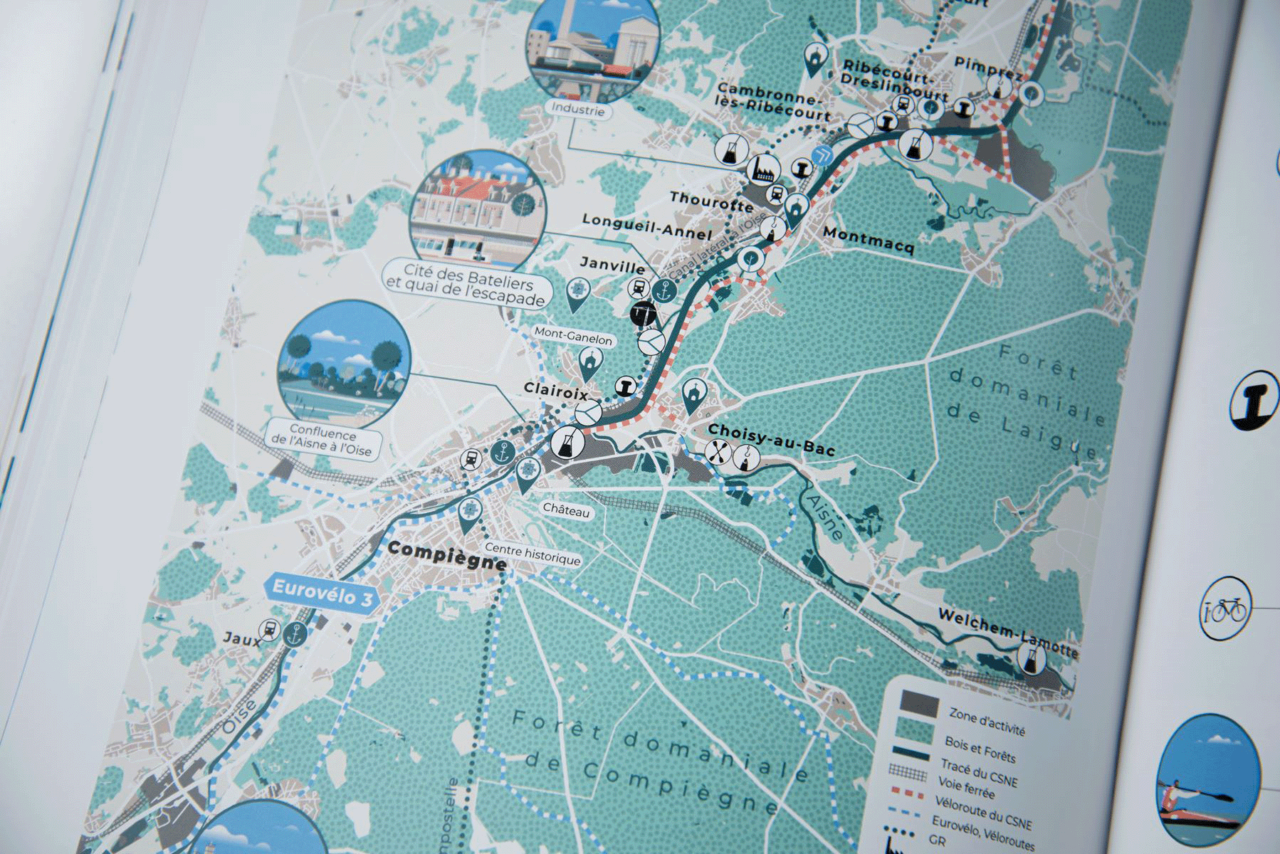
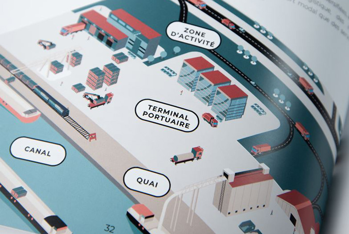
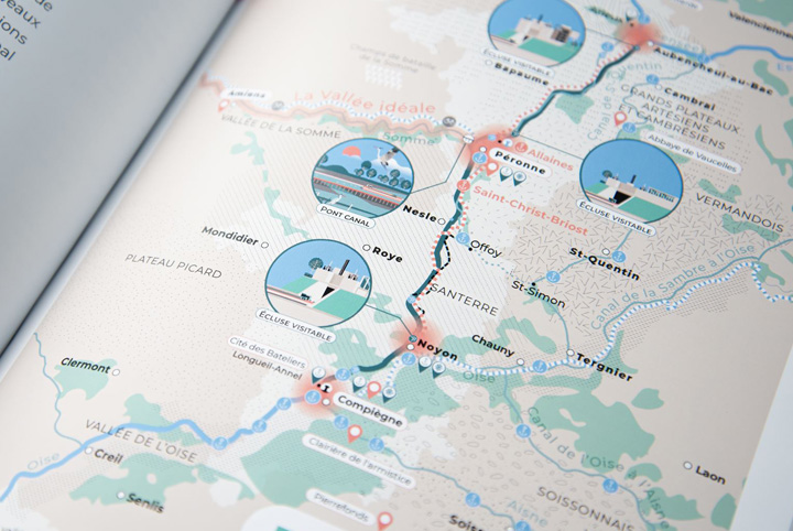
Commissioned as part of a strategic planning and communication process, Atelier Cartographik developed an illustrated report combining territorial cartography, editorial design and visual storytelling. Through maps, diagrams and narrative illustrations, the project translates complex planning data into accessible visual content.
Designed for institutions, stakeholders and public audiences, the report helps communicate the geographical, environmental and economic challenges associated with the future canal corridor while highlighting its impact on territories and regional development.