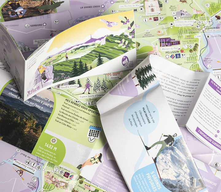
Parc naturel regional du pilat - illustrated Tourist map
info +
Client: PNRP
issue: 2025
Illustrations & cartography:
L'Atelier Cartøgraphik
Illustrated tourist map & visual identity for a French regional park
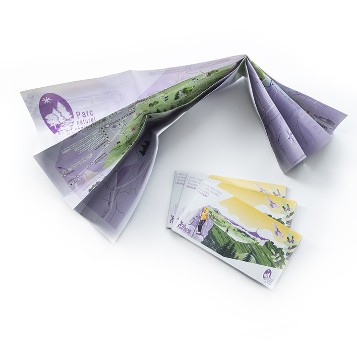
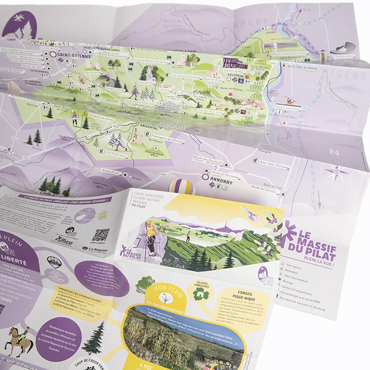
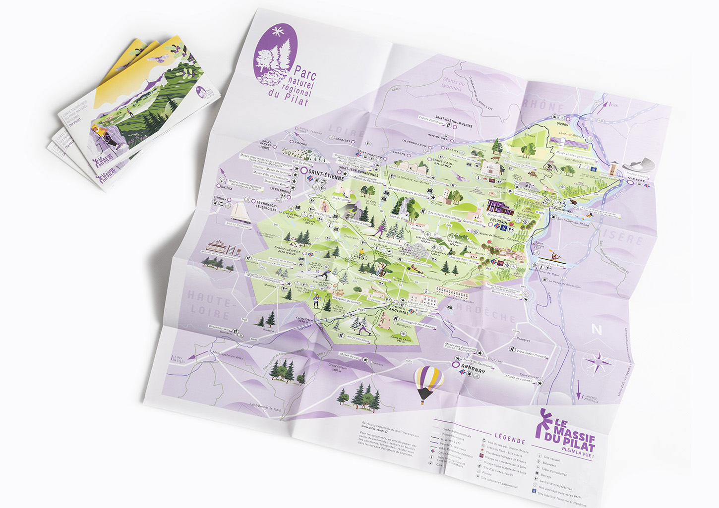
A richly illustrated tourist map created for the Parc naturel régional du Pilat, translating the character, landscapes and cultural heritage of the territory into a visual journey.
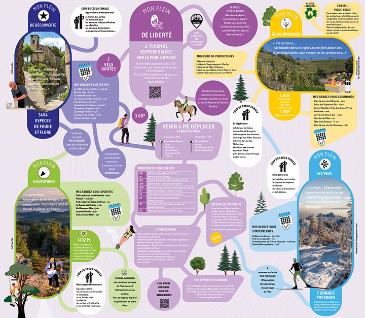
Combining cartography, illustration, typography and graphic design, the map brings together natural sites, villages, landmarks, routes and points of interest in an intuitive and engaging format.
A project at the intersection of cartography, tourism and visual storytelling, designed to help visitors discover and navigate the territory while giving the destination a distinctive visual identity.